


In order to build a case for new public infrastructure it is common to attempt to calculate the Benefit/Cost Ratio (BCR). This value is found by adding up all the benefits of a project and dividing by all the costs. A positive value means that the project is economically viable. The problem with this approach is that it is not always easy or suitable to convert social and environmental benefits into cash terms. See this previous blog article on how Toronto tackled this issue for its TO360 Wayfinding system.
This presents a noticeable challenge to City Wayfinding projects: to measure tangible cause and effect in relation to city goals. The cost of a system is simple to calculate in advance. However the benefits in terms of increased walking and cycling, reduced congestion and improved urban spaces are more difficult to quantify. And the relationship between good wayfinding mapping and signage and these benefits remains difficult to measure with great assuredness.

The following are strong qualitative arguments pointing to cause-and-effect benefits associated with City Wayfinding.
How does City Wayfinding improve connectivity?
A City Wayfinding system improves connectivity by making the city easier to understand and navigate. Clearly showing ‘You Are Here’ and the shortest route to all nearby alternatives reduces time spent on finding your way.
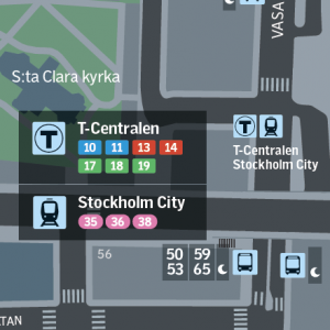
Travel options are presented legibly, providing choice and showing how close the alternatives are.
Wayfinding for the whole journey clearly shows the walking section involved in every journey. It is well established that there is a need to reduce confusion around and between transport nodes to attract users.
An increase in footfall, both from tourists and locals exploring new areas, contributes immense economic benefits for an area.
How does City Wayfinding help increase footfall?
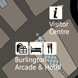
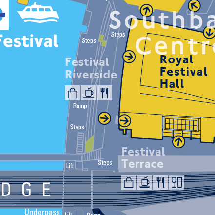
City Wayfinding, with a sufficient density of maps and signs, makes people confident to explore new areas, safe in the knowledge that they will not get lost.
These maps also highlight places of interest for tourism, local restaurants and businesses, increasing knowledge of what the city has to offer. This encourages visitors to return more often and to stay longer.
Improvements in public realm, with increased space for walking, street furniture, green areas, trees, water and lighting encourage people to dwell together, improving safety, mental health and wellbeing.
How does City Wayfinding improve public spaces?
City Wayfinding signs are attractive street furniture, strengthening the city’s brand and providing information as a public service. Pleasant public spaces are highlighted on wayfinding maps, showing clearly the best places to be whether for walking, taking a break or meeting a friend. An increase in people dwelling in certain areas, attracted there by wayfinding, improves the safety of those areas.
Wayfinding systems can be extended across disadvantaged neighbourhoods to give these areas a sense of inclusion and civic pride.
Modal shift from private cars to sustainable mobility reduces congestion. Fewer cars on the roads leads to improved air quality. Fewer cars also frees up land once used for parking which can be put to better economic use.
How does City Wayfinding lead to modal shift?
City Wayfinding encourages modal shift by highlighting walking distances of up to five minutes. Several studies point to the fact that many short journeys would have been quicker on foot or cycle than by car. People often drive out of convenience, laziness or ignorance.
Showing all public transport alternatives also encourages modal shift by simplifying the transport system and making sustainable choices easier to make. By integrating wayfinding with public transport information the whole journey can be linked up and made seamless.
Wayfinding maps emphasise safe, attractive areas to walk. This encourages people to choose to walk over using their car.
It is well documented that in an age of increasing obesity, even regular short walks are highly effective at improving health.
How does City Wayfinding improve health?
City Wayfinding improves health by promoting active travel. It does this by depicting walking and cycling environments in detail, showing everything available within a 5 minute walk, opening up new areas worth exploring and a choice of routes to your destination (through a park, via a shopping arcade or along a river).
A business case can be built from a selection of these arguments, with an evidence based approach achieved by measuring relevant metrics with which to convert benefits into economic values, gather quantitive data and predict outcomes, e.g.:
However, as this article shows, there are many cause-and-effect benefits of City Wayfinding which should be weighed in together with monetary measurements. After all, without wayfinding maps how will people learn about or notice improvements to walking and cycling infrastructure? Why will they be curious to try walking in an area they don’t know well? And what will make them see the convenience and simplicity of a journey by public transport?